| View previous topic :: View next topic |
| Author |
Message |
chuckc1971
on trail

Joined: 03 Nov 2008
Posts: 32
Location: Louisville, KY
|
 Posted: Tue Nov 18, 2008 10:19 pm Post subject: Posted: Tue Nov 18, 2008 10:19 pm Post subject: |
 |
|
Tannerbend,
I have asked your very question and here is the response:
From: Laurie A Smith [mailto:lauriesmith@fs.fed.us]
Subject: Re: Fw:Sheltowee Trace and biking Web inquiry
I would really suggest you stop at section 30. Sections 31-38 are hiking. That is a total of 33 miles. Sections 32-34 goes through the Big South Fork National River and Recreation Area managed by the Park Service 423-569-9778. Although there are some sections you could ride along the roads, that is probably not the type of experience you'd want. Also many of the roads are narrow and curvy and would not be safe to ride.
***********************************
Laurie A. Smith
Supervisory Forester (ORA)
Daniel Boone National Forest
Stearns Ranger District
3320 Hwy 27 North
Whitley City, KY 42653
606-376-5323 ext. 102
606-376-3734 fax
lauriesmith@fs.fed.us
********************************* |
|
| Back to top |
|
 |
tannerbend
cub
Joined: 15 Nov 2008
Posts: 4
|
| Posted: Wed Nov 19, 2008 7:02 pm Post subject: |
|
|
I love her answer as she did not specifically say it was closed. I just pulled the trails guides that the old Stearns District Office of DBF mailed to me. I will show below what they allowed at that time.
Section K - Tennessee State Line north to Hemlock Grove Picnic Area
(5.5 miles open to hiking, horses, and bikes). This section is technical but rideable.
Section J - Hemlock Grove Picnic Area to Peter's Mountain Road (2.6 miles open to hiking, horses, and bikes)
Section I - Peter's Mountain Road to junction of Forest Service 139/569
(10.9 miles of gravel road open to vehicles, hiking, horses, and bikes)
Section H - Mouth of Rock Creek on BSFR and junction of 582/6127
(3.1 miles open to hiking, horses, and bikes)
Section A ends at the southeastern side of the bridge entering Cumberland Falls State Park. All the Sections G to Section A showed that they were open to minimally hiking and biking and some included horses.
If you rode from Teneessee to Cumberland Falls, you take the highway towards Corbin and turn left on the Forest Service Road that takes you
to Dog Slaughter Falls trail. It intersects the trace just outside the
Cumberland Falls State Park Boundry and you only end up missing a few miles of the trace.
If you post an email address I can take these to work and scan them as a pdf and email them to you. She only suggests you stop at section 30 and these maps show the trails as open to bikes.
People that don't mountain bike can't grasp what is rideable. When something can't be ridden, you dismount and walk or carry your bike around the obstacle. These are sections of the trail that are not heavily used, and with loaded bikes you would not be screaming down the trail. |
|
| Back to top |
|
|
chuckc1971
on trail
Joined: 03 Nov 2008
Posts: 32
Location: Louisville, KY
|
| Posted: Wed Nov 19, 2008 7:20 pm Post subject: |
|
|
Tannerbend, you are talking to the quire.
My contact info is chuck1971 AT insightbb DOT com. Obviously, alter that the @ and .
I very much appreciate it!!! |
|
| Back to top |
|
|
tannerbend
cub
Joined: 15 Nov 2008
Posts: 4
|
| Posted: Sun Nov 23, 2008 7:43 am Post subject: |
|
|
I sent you emails from my home and work computers and both were returned to me. Send an email to me at tannerbend@qx.net and I will try using the return function to email it back to you. You definitely want the file I will email you.
Jeff |
|
| Back to top |
|
|
jbd
merciless pace

Joined: 07 Sep 2008
Posts: 561
Location: Carlisle, Ky
|
| Posted: Sun Nov 23, 2008 4:26 pm Post subject: |
|
|
chuckc,
A person from the DBNF called me a few days ago and indicated there were areas where you need to carry the bike i.e. some bridges and places like th picture tannerbend posted. He said there were areas where it would be quite difficult to ride and probably safer to just push the bike. He didn't see any need to take the bike apart and carry it. |
|
| Back to top |
|
|
chuckc1971
on trail
Joined: 03 Nov 2008
Posts: 32
Location: Louisville, KY
|
| Posted: Sun Nov 23, 2008 7:52 pm Post subject: |
|
|
I am sure there will be plenty of places I will have to push my bike.
I am still waiting on tannerbends e-mail, but it looks like I can ride all but Red River Gorge and Natural Bridge State Park through the Cumberland and London Districts. |
|
| Back to top |
|
|
jbd
merciless pace
Joined: 07 Sep 2008
Posts: 561
Location: Carlisle, Ky
|
| Posted: Mon Nov 24, 2008 8:32 am Post subject: |
|
|
| The guy from DBNF that called me seemed interested in the trip and said something to the effect that it sounded like a fun or cool adventure. His tone of voice definitely conveyed to me that he was kind of glad or excited that people wanted to use the trail in its entirety. |
|
| Back to top |
|
|
Chilton
merciless pace
Joined: 08 Apr 2007
Posts: 194
Location: Lexington, Ky
|
| Posted: Mon Nov 24, 2008 10:26 pm Post subject: |
|
|
I believe the place where they said that the bikes had to be taken apart was fat man's squeeze at natural bridge. It is more than likely that the handlebars wouldn't fit through there when upright and if turned sideways the wheel would hit. In the attached picture the walls come closer on the end where the picture is taken from. |
|
| Back to top |
|
|
chuckc1971
on trail
Joined: 03 Nov 2008
Posts: 32
Location: Louisville, KY
|
| Posted: Mon Nov 24, 2008 10:43 pm Post subject: |
|
|
As I understand it, you can't legally bike Natural Bridge.
But, to get through that spot, you can loosen your stem and turn the handlebar 90 degrees. Then, simply pop a wheelie and push your bike through. Even taking the pedals off is not too difficult and can be accomplished with an allen wrench. |
|
| Back to top |
|
|
matt.hoyes
cub
Joined: 14 Nov 2008
Posts: 3
|
| Posted: Tue Nov 25, 2008 1:07 pm Post subject: |
|
|
Lots of good info out there you guys are digging through. Pedals don't have to come off to get your bike through fat man's misery. Better idea turning your stem as chuckc suggested. What killed us was our fully loaded panniers (they were way to wide). Not a good day to be starting a three-day self-sufficient stretch. A light bike could make the approach pretty easy, but it was tough loaded due to high water bars. I'd like to figure out where to best hook in to the trail south of Natural Bridge since everything from the Northern tip of the Clifty Wilderness to the southern tip of the State Park are closed geological areas open only to hiking.
_________________
Matt |
|
| Back to top |
|
|
chuckc1971
on trail
Joined: 03 Nov 2008
Posts: 32
Location: Louisville, KY
|
| Posted: Thu Nov 27, 2008 12:21 am Post subject: |
|
|
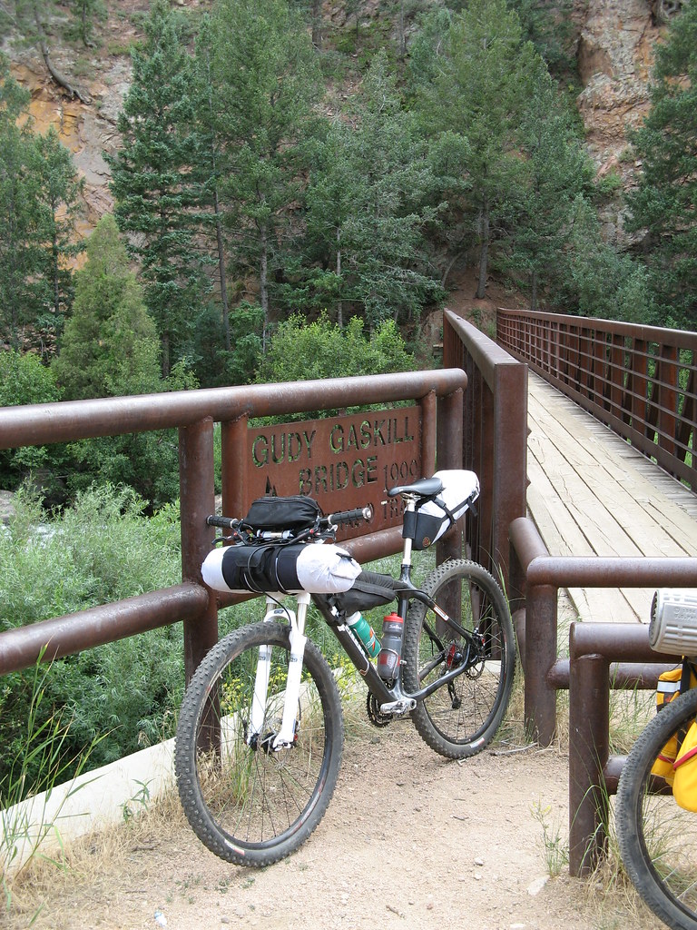
Think of a full suspension version of this bike:
 |
|
| Back to top |
|
|
Chilton
merciless pace
Joined: 08 Apr 2007
Posts: 194
Location: Lexington, Ky
|
| Posted: Thu Nov 27, 2008 3:36 pm Post subject: |
|
|
| Pretty Slick |
|
| Back to top |
|
|
Boyd
BOONE-ified GPS DUDE
Joined: 18 Jun 2004
Posts: 326
Location: Lexington
|
| Posted: Sun Dec 21, 2008 2:03 pm Post subject: |
|
|
| jbd wrote: | Chuckc1971--I think Boyd is working on a map product that shows which parts of the trail are open to different activites i.e. horseback, bikes, off road type vehicles etc. Hopefully he will weigh in on that topic.
If he is working on such a map, he may need for people who have been on the trail to help provide or gather the information.
http://www.sheltoweetrace.com/forum/viewtopic.php?t=303 See Boyds comment at the end of the thread. |
Hey everybody, sorry I'm getting to this rather late. I got an extra gig teaching this fall and have been absorbed by it.
Ok...in my mind, the ST is technically ridable everywhere except in the state parks and the Red river Gorge. The forest service will indicate that certain sections are closed, but these are more recommendations than policy. Whether or not it is feasible is a question of skill and tolerance for frustration.
In the Big South Fork, use is a lot more confusing. All trail are open to hikers and most equestrian trails are open for bikers. Some bike trails, such as the Collier Loop are bike, but not horse. The Grand Gap loop is open to bikers during the week. The John Muir Trail, which connects with the Grand Gap, is hiker only. The section of the JMT that shares the ST is not bikeable and all trail southwest to Pickett is also not bikeable. So essentially the southern terminus for a mtb ST is the end of Rock Creek Road at the state line.
The biggest problem to riding in my opinion are surface conditions. If it's wet, which some part will invariable be during a trip longer than a few days, then the trail become impossibly muddy, especially in the motorized and equestrian multi-use areas. If it's dry, those same areas are very fast.
_________________
Help map trails by submitting your waypoints and trail photos. |
|
| Back to top |
|
|
chuckc1971
on trail
Joined: 03 Nov 2008
Posts: 32
Location: Louisville, KY
|
| Posted: Sun Dec 21, 2008 3:23 pm Post subject: |
|
|
Thanks for the reply Boyd.
After much deliberation and consultation with my buddy who lives in Jackson county and plans to do this with me, we plan to do several re-con rides with the specific aim of routing around some of the hike-a-bike. Preference will always be given to singletrack and, as has been said earlier, it's amazing what you can conquer on a true mountain bike when you pack very light.
As far as when it's muddy, we normally don't ride during these times. My planned ride time for doing the whole shebang is September which also is usually the driest month around here. I'll put up with some heat in order to ensure a dry ride. Course, with anything multi-day, it can go from good to bad despite predictions.
Since some hike-a-bike will be eliminated, I would really love to connect the section of the Jenny Wiley up to this and simply ride from the Ohio River to the TN border. Haven't seen any update on the Jenny Wiley thread.
I'm also starting a blog re: this trip from development through finish of the trip. I will post the link once I get a bit more on there.
I also plan to buy a decent GPS device and then publish the whole route. My buddy referenced earlier has another motive: He wants to bring more adventure tourism to Eastern KY and this is the perfect way to do so. Having a rideable but technical route that others can follow via map or device will really create a draw for a lot of bike-minded people like me. |
|
| Back to top |
|
|
smitty
in the stride

Joined: 10 Dec 2007
Posts: 42
Location: Cincinnati, ohio
|
| Posted: Sun Dec 21, 2008 6:11 pm Post subject: |
|
|
Chuck I have been wanting to do what your talking about for a long time. Please post the GPS route you take I am intrested in how your planning on handling some sections. I have riden a bunch of the trail not really any of the road or gravel road sections.
I knew John Stamsted hey was a crazy Ultra marathon mtb guy and when he would trips like your talking about he pack super light and was abl;e to make good time. Are you planning on bring a stove or are you just going to eat cold food?
Do you know Anthony Slowiski he is from lousville?
Thanks |
|
| Back to top |
|
|
|

