Sheltowee Trace
History
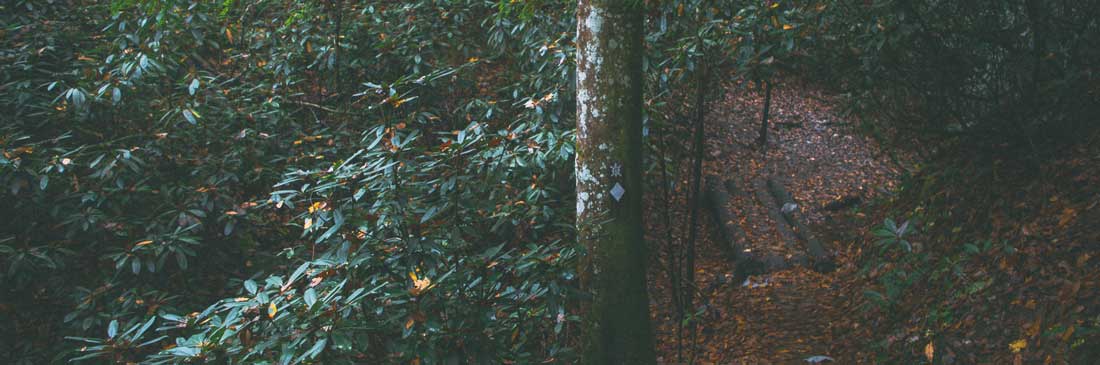
Climbing between deep hemlock gorges and piney, craggy summits, the Sheltowee Trace is a 319-mile National Recreation Trail (2015 alignment) that spans the Daniel Boone National Forest and Big South Fork National River and Recreation Area in Kentucky and Tennessee. The name "Sheltowee" honors the history of Daniel Boone, who was captured by Shawnee Indians while making salt in an area close to the present-day trail. Chief Blackfish, his adopted Shawnee father, renamed him Sheltowee, which meant "Big Turtle."
The Trace was started by a US Forest Service landscape architect Verne Orndorf in the mid-1970s (listen to a 2005 oral history). He envisioned the trail for foot travel only, gaining inspiration from local Sierra Club members who wanted a long-distance footpath in Kentucky. Today, the Trace has an active non-profit, the Sheltowe Trace Association (STA), that actively helps build new trail and maintain existing trail for the public good.
SheltoweeTrace.com was created in 2004 with the goal to help trail users find good information and maps and to promote the preservation of the trail as a long-distance path. With the evolution of the internet, the main attraction to this site, the forum, couldn't keep up with social media and has been archived. While currently registered forum users can post as normal, the forum will not accept new registrations unless you contact us direcly. Looking forward, this site will try to offer the best maps available for the Trace.
Contact us
Map & Trail Info
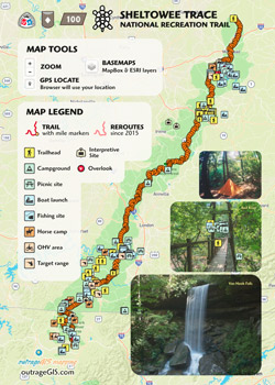
The primary goal of this site is to offer current trail maps and info for the Sheltowe Trace. The website is a project by outrageGIS.com to help maintain a printed map for the trail. The most recent maps show the north and south Sheltowee Trace on two publications, which are available for purchase with lamination.
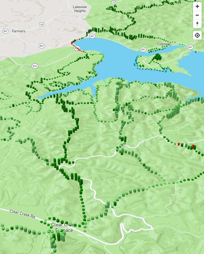
Interactive map & Scenic index
 We have been building a mobile version of the Trace to help locate your position on the trail and share information with other users. The current map will geolocate you with cell service and a GPS on your mobile device.
In our scenic index experiment, we are creating zones at discreet locations along trail and estimating the character of that location.
Archive
Interested in reading thru hike trail logs? Our members have contributed a lot of awesome info to the forum that can help new trail users find a good hikes. It's archived and searchable. Visitors can also explore the history and growth of the Trace, both digitally and on the ground.